MAPPING INFO
Know Where to Go?

Where are all the Trails?
MERRITT SNOWMOBILE CLUB TRAIL MAP
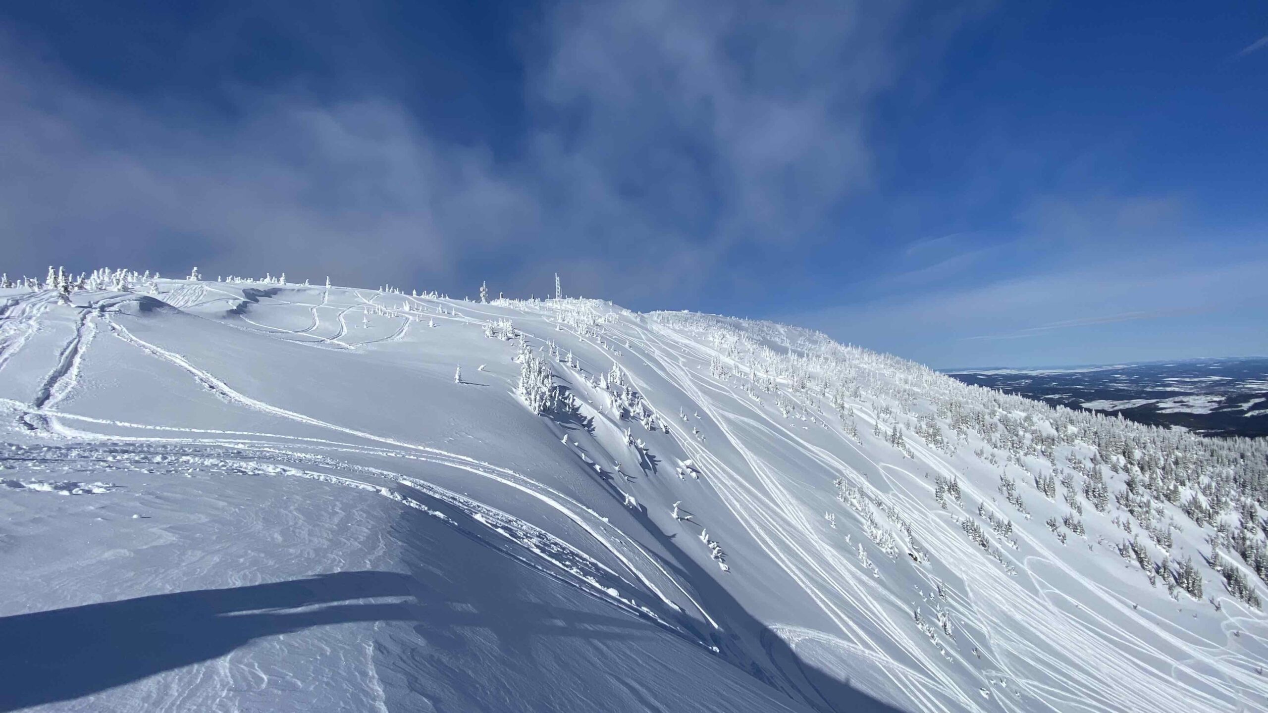
Thynne Mt. (Brookmere)
- Site Description: A snowmobile trail system with fees maintained by the Merritt Snowmobile Club. The majority of the trail is groomed and signed and proceeds up onto Thynne Mountain via the Thynne Forest Service Road where two shelters are also maintained by the club; The Tin Shed and the Andy’s Lake Emergency Shelter, the latter located on the north shore of Andy’s Lake. Please respect these buildings and keep things tidy and bring all garbage home with you.
- Driving Directions: The Merritt Snowmobile Club maintains a parking lot / staging area a short distance past the community of Brookmere and the 0 km mark of the Thynne Mountain Forest Service Road. Please park around the outside edge of the parking lot. No camping and no fires at the parking lot.
GPS Points of Interest
Thynne Mt Area
Brookmere Parking Lot 49°48’43.20″N 120°51’26.69″W
2km Brooks Cutoff 49°48’8.49″N 120°50’34.30″W
7km Thynne 49°46’4.07″N 120°52’0.38″W
10 km Thynne 49°45’16.40″N 120°54’7.03″W
Andy Lake Junction 49°45’1.40″N 120°55’34.49″W
Andy’s Lake Shelter 49°44’49.21″N 120°55’41.43″W
Andy Lake Enter Trail 49°44’56.58″N 120°55’51.21″W
Tin Shed Shelter 49°43’49.18″N 120°55’39.59″W
BC Hydro Tower 49°43’37.46″N 120°55’54.55″W
Cat Hill 49°42’22.21″N 120°55’33.35″W
Thynne Mt Top 49°42’7.73″N 120°55’21.92″W
Short Cut 49°44’22.10″N 120°55’20.87″W
Fence Line Cutoff 49°44’51.50″N 120°55’14.49″W
Fence Line Bottom 49°45’25.58″N 120°54’41.55″W
Upper Fence Line 49°43’47.22″N 120°55’9.99″W
4 Corners 49°42’17.88″N 120°57’27.49″W
The Burn 49°41’38.62″N 120°57’52.83″W
Start of Henning Trail 49°40’32.32″N 120°57’52.89″W
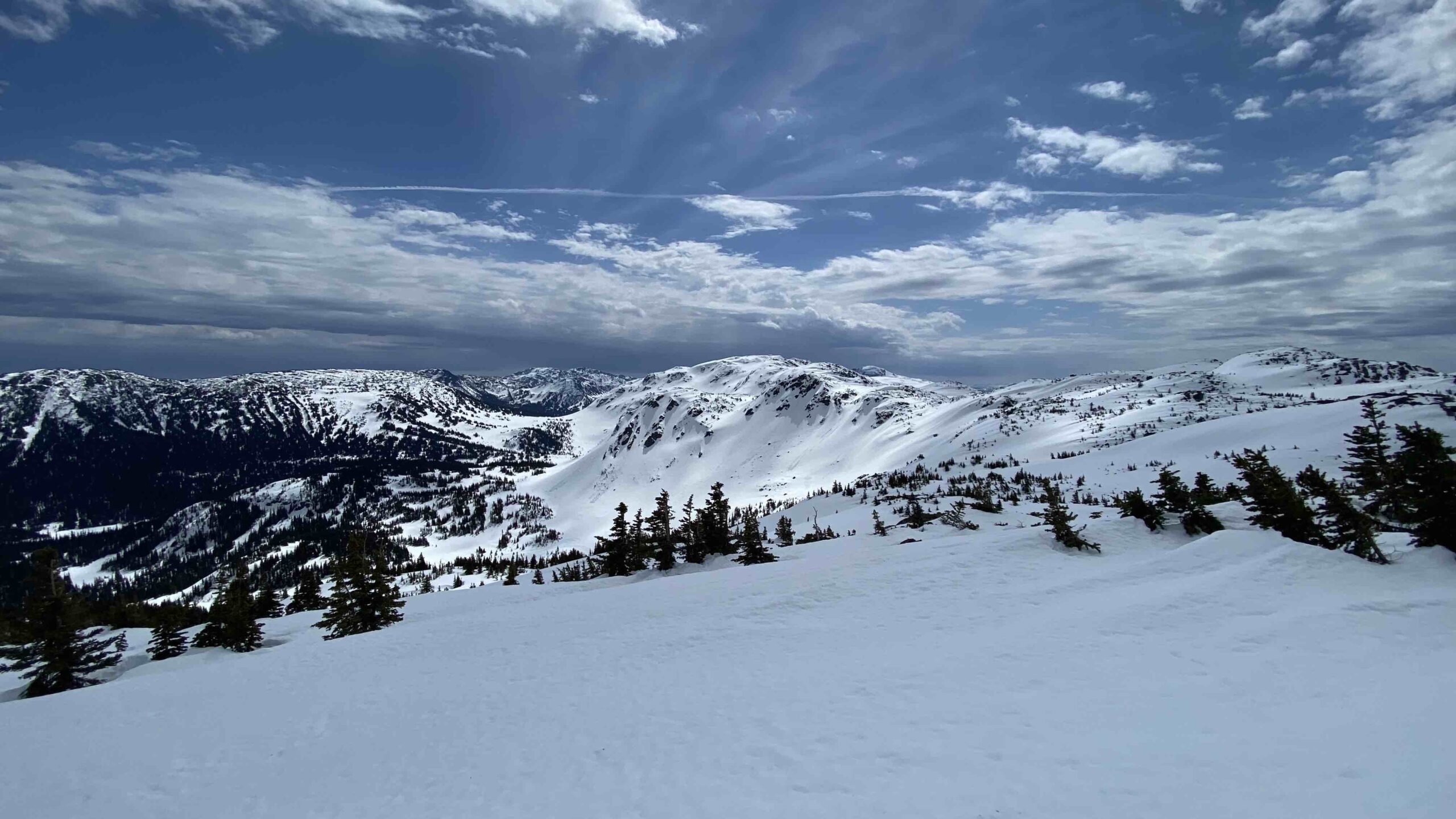
Stoyoma, Honeymoon, Hooshum Ridge
- Site Description: An 86 kilometres snowmobile trail network with fees maintained by the Merritt Snowmobile Club. All fees go towards grooming, trail and cabin maintenance and safety programs. Note there is some avalanche terrain and chutes in the area so it is wise to review the avalanche conditions and terrain/snow conditions prior to sledding and periodically through the day. There is the Honeymoon Cabin located in the area. Please respect this cabin and keep things tidy and bring all garbage home with you.
- Driving Directions: Proceed west for about 15 minutes along Highway 8 from Merritt. Watch for signs indicating snowmobile trails and turn left onto the Spius Creek Road. Continue on this road, past the fish hatchery, over the bridge and continue on the main road for 7.5km where there is a gravel pit and a large trail kiosk(9k). Park and unload your sleds here or continue to the 12km parking lot or 24km depending if the road is plowed. Review the avalanche terrain and trail map and proceed further up the road by sled to the trail system.
- If the road is plowed or otherwise driveable beyond the gravel pit you may also park your vehicle and unload at or near 24k. It is recommended to carry chains and be aware there are limited areas to turn around before 24k. Regulations prohibit the driving of snowmobiles on plowed or otherwise driveable roads.
GPS Points of Interest
Stoyoma, Honeymoon, Hooshum Ridge Area
Parking at 9km 50° 5’25.78″N 121° 3’41.27″W
12km Parking 50° 4’17.34″N 121° 3’55.22″W
18km 50° 1’26.57″N 121° 5’30.58″W
24km 50° 2’37.89″N 121° 9’1.18″W
Short Cut 50° 4’15.47″N 121°13’13.52″W
Turn To Honeymoon1 50° 4’2.13″N 121°15’30.77″W
Turn To Honeymoon2 50° 4’9.49″N 121°15’55.55″W
Honeymoon Cabin 50° 1’20.25″N 121°17’17.90″W
Cabin Lake 49°58’29.84″N 121°13’15.60″W’
WebCam WiFi Site 50°3’13.90″N 121°15’19.90″W’


Club Membership Plans for Any Budget
Adult Membership
- One Adult Pass for All MSC Areas
- Accommodation Discounts
- Insurance Savings
- Many More Perks
- Discounts on Day Passes at other Clubs
- Includes BCSF Membership & Fees
Youth Membership
- One Youth Pass for All MSC Areas
- Accommodation Discounts
- Insurance Savings
- Many More Perks
- Discounts on Day Passes at other Clubs
- Includes BCSF Membership & Fees
Day Passes
- Day Pass for Thynne and Honeymoon Area
- Support Organized Snowmobiling
- Support Groomer Costs
- Support Trail UpKeep
- Pre-Purchase Fast Check-In
- Includes All Fees
Corporate Sponsorship
- 2 Adult Season Passes
- Logo On WebCam Page
- Shout Outs on Socials
- Support Organize Snowmobiling
- Be Part Of Club Events
- Includes all Fees